
December 4, 2020
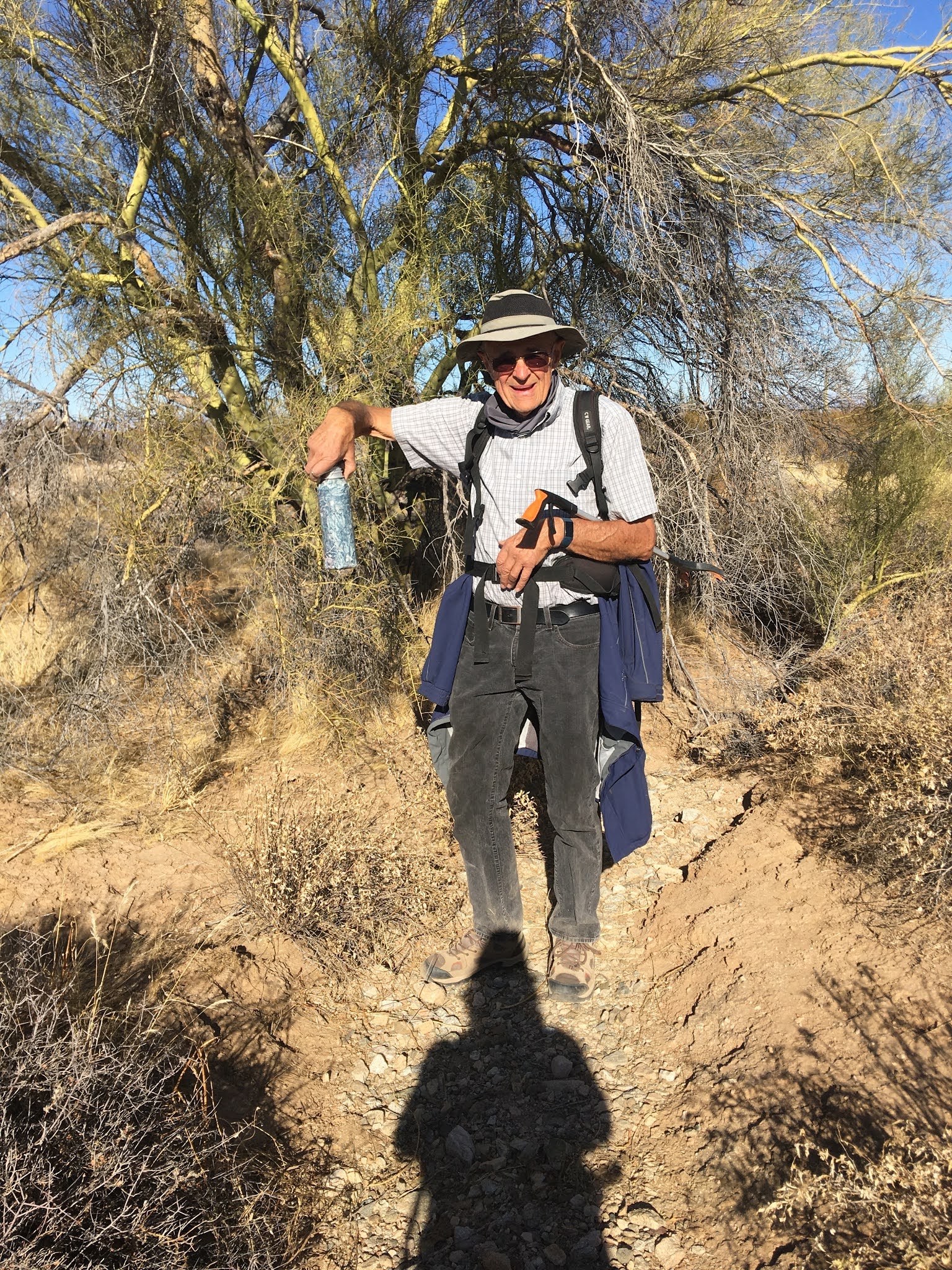
As many of you know, I love to geocache. We started in January, 2011. It is like a treasure hunt except you don't keep anything. It has taken us many places we would have never gone to. I have friend Bernie that winters in Surprise, AZ. He is an avid cacher. Usually we drive to the caches, but some you can only walk/hike to. We went on a combo hike/caching adventure to find some geoart. Geoart is a lot of caches that are placed in a design. This one was called the Bowtie, but looked like the Chevy logo to us. We thought it would be an easy hike, around 6 miles of flat desert. The first 18 were that, but then for the 19th, we were staring straight up at a hill with still 500' to go. We had to climb straight up and back down to get to it. We were not expecting that. There were very large boulders to climb up. Some were too big for my short legs so Bernie had to give me a hand to get over. We found 34 caches in all
I have been hiking 1-2 times a week with my Rebel Ladies hiking group. We would hike around Issaquah or for longer ones, go up to Snoqualmie Pass. I thought I had done some hard hikes, but this hike up and down the mountain the hardest I have ever done.
All of the yellow faces are caches that I have found


No comments:
Post a Comment